The History of Japan on the Map: Provinces, Capitals, and Prefectures
The history of Japan on the map is not only a change of capitals but also a change in the very grid of the country's divisions: before the Meiji era, the land was divided into 68 provinces (令制国), and from 1888 — into today's 47 prefectures. The seat of real power also moved: Nara, Heian-kyō (present-day Kyoto), Kamakura, Kyoto again, then Edo, which in 1868 was renamed Tokyo — the "eastern capital."
Opening a historical map of Japan and not getting lost among unfamiliar names is easier if you know three things. How the country was divided into lands before and after the Meiji reforms, where power physically resided in different centuries, and why the current capital has such a literal name. Let's go through it in order — relying on the names that appear most often on old maps.
How the Map of Japan Changed
The map of Japan changed in two dimensions at once: the borders of administrative units and the place where decisions were actually made. The administrative division changed once — the 68 provinces of the Asuka period gave way to the 47 prefectures of Meiji. But the capital and the center of real power moved many times: Kyoto remained the formal capital for centuries, but power resided sometimes there, sometimes in Kamakura, sometimes in Edo — depending on the era.
| Old Name | Modern Equivalent | What It Is Notable For |
|---|---|---|
| Heian-kyō (平安京) | Kyoto | Capital from 794 to 1868, though after the 12th century real power was often in other cities |
| Edo (江戸) | Tokyo | Headquarters of the Tokugawa shoguns from 1603; renamed Tokyo in 1868 |
| Yamato Province (大和国) | Part of Nara Prefecture | Birthplace of the Yamato state, from which comes the old general name for all ancient Japan |
| Musashi Province (武蔵国) | Tokyo, Saitama, part of Kanagawa | The largest province in the Kantō region, where the city of Edo grew |
| Ezo (蝦夷地) | Hokkaido | The old name of the island before its renaming and annexation in 1869 |
| Ryukyu Kingdom (琉球王国) | Okinawa Prefecture | A separate state until its abolition in 1879 |
Provinces and Prefectures: What's the Difference
The old system of 68 provinces (令制国, ryōseikoku) took shape in the 7th–8th centuries along with the first code of laws, the ritsuryō, and lasted for over a thousand years. The provinces were not administrative units in the modern sense — rather, they were historical and geographical regions with their own names and crests. Hokkaido and Ryukyu were not part of this system at all: the islands were annexed to Japan only at the end of the 19th century, after the Meiji reforms had already begun replacing the old provinces with prefectures. The division close to the current one finally took shape by 1888: 43 ordinary prefectures (ken), three "fu" — Tokyo, Osaka, and Kyoto — and the Hokkaido governorate, totaling 47. Tokyo received its current special "to" status much later, in 1943.
Name and Kanji: 地図
地図 is read ちず: 地 "earth, place" and 図 "drawing, diagram" together give "map" — literally "drawing of the earth."
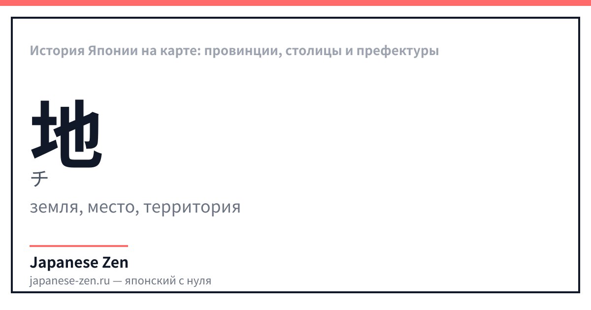
地 — значение: earth, place, territory — онъёми: チ、ジ — 6 штрих(ов). 地 — "earth, place, territory": 6 strokes, N4-level character. The same root is in 地図 (chizu, "map") and 土地 (tochi, "plot of land").
| Japanese | Reading | Translation |
|---|---|---|
| 地図 | chizu · chizu | Map |
| 都道府県 | todōfuken · todōfuken | General term for all 47 prefectures |
| 首都 | shuto · shuto | Capital |
| 県 | ken · ken | Prefecture — most of the 47 have this status |
| 国 | kuni · kuni | Country; in the old system — a historical province |
| 島 | shima · shima | Island — like Hokkaido or Okinawa |
Write 地 along the guides — the first character in 地図, "earth" in the word "map."
Why 地 Has Two Different Readings
地 in the word 地図 is read ち — one of the two on'yomi readings of this character; the second, じ, appears in other words, for example 地震 (jishin, "earthquake"). The second character, 図, is read ず and by itself means "drawing, diagram, chart" — together they give the literal "drawing of the earth."
Where the Map of Japan Appears in Games and Anime
There are few direct adaptations of the borders and provinces themselves, but there are games that seriously reconstruct the geography of a specific era.
- Ghost of Tsushima (2020, Sucker Punch Productions) — recreates Tsushima Island in 1274, at the height of the first Mongol invasion; the game is Western, but the geography is Japanese.
- Golden Kamuy — a manga and anime about Hokkaido shortly after the Russo-Japanese War of 1904–1905, when the island had formally been part of Japan for several decades but remained a sparsely developed frontier.
- Total War: Shogun 2 — a strategy game where the map of Japan is divided into the old provinces, not modern prefectures, and you have to capture them one by one.
FAQ
- How has the map of Japan changed over time?
- Both the borders of administrative divisions and the place where real power resided changed. The system of 68 provinces (令制国) was replaced by prefectures in 1888, and the seat of power moved from Nara to Heian-kyō, then to Kamakura, back to Kyoto, and finally to Edo.
- How many provinces were there in old Japan?
- 68 — the 令制国 (ryōseikoku) system, introduced in the 7th–8th centuries and lasting until the Meiji reforms. Hokkaido and Ryukyu were not part of it: the islands were annexed to Japan later, in the 19th century.
- How many prefectures are there in Japan now?
- 47: 43 ordinary prefectures (ken), the Tokyo metropolitan district (to), Osaka and Kyoto with "fu" status, and the Hokkaido governorate (dō). Their borders generally took shape by 1888 and have hardly changed since.
- Why is Tokyo called the "eastern capital"?
- 東京 literally means "eastern capital": 東 — "east," 京 — "capital." The name was given in 1868 to the former city of Edo — because it is east of the old capital Kyoto, around which the coordinate system of Japanese geography was built for centuries.
- When did Hokkaido and Ryukyu become part of Japan?
- Hokkaido, previously called Ezo, was renamed and officially incorporated into Japan in 1869. The Ryukyu Kingdom was first subordinated in 1872, and in 1879 it was finally abolished and turned into Okinawa Prefecture.
- Where does the map of Japan appear in games?
- Ghost of Tsushima recreates Tsushima Island of the Kamakura era, Total War: Shogun 2 divides the country into the old provinces, and the manga and anime Golden Kamuy are set in Hokkaido shortly after the island's annexation to Japan.
Sources
Updated: 2026-09-11